060: Lidar, photogrammetry, GIS & Claude AI to discover archaeological sites in the Pyrenees, Spain
Learning Outcomes
Fieldwork & Digital Capture
Drone photogrammetry in archaeological sites: flight planning, overlap parameters, GCP placement, and zenithal/oblique capture.
GNSS point collection: high-precision positioning of architectural features and spatial survey coordinates.
Ground-truthing spatial anomalies: field verification of potential structures detected via LiDAR and satellite imagery.
Stratigraphic and structural analysis of medieval settlements, Romanesque temples, castles, and rock-cut necropolises (10th–14th centuries).
Archaeological site condition reporting: cataloging state of conservation, accessibility, and spatial extent.
Laboratory, GIS & AI Data Processing
QGIS and ArcGIS spatial analysis: projection configuration, historical layer georeferencing, vector editing, and project data management.
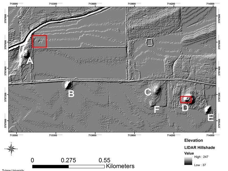
LiDAR data handling: generating Digital Elevation Models (DEM), Hillshade visualizations, Slope gradient maps, and multi-directional relief visualizations.
3D photogrammetric processing: point cloud densification, mesh generation, and texture mapping to export orthophotos and 3D elevation models.
Artificial intelligence applied to archaeology: prompt engineering with Claude AI to structure field notes, synthesize archival documentary sources, and cross-reference site databases.
Technical report production: compilation of geospatial deliverables, architectural plans, and analytical conclusions for survey and excavation project designs.