


 060: Lidar, photogrammetry, GIS & Claude AI to discover archaeological sites in the Pyrenees, Spain

Useful Information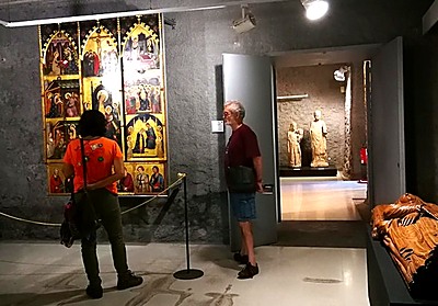
Directed at
Students and graduates in archaeology, history, art history, geography, architecture or related disciplines who wish to add digital heritage-documentation techniques to their training, and anyone interested in medieval archaeology who would like a first field experience.
This course does not include excavation. It centers on the location, reconnaissance and digital documentation of medieval sites of the 10th to 14th centuries in the Pyrenees, with the aim of preparing survey and excavation projects for the coming years.
The course is limited to 6 participants per session, the capacity of the apartment in Malpàs.
No prior knowledge of archaeology or of the software is required. It is compulsory to bring your own laptop.
 Field School life & language
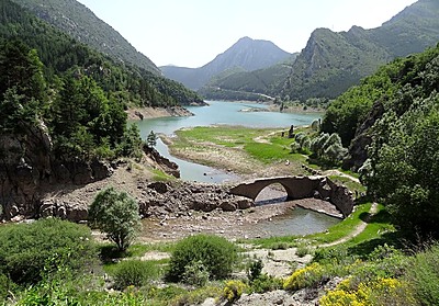
A normal day begins by picking up the students from the Malpàs residence with the van or the 4x4 vehicle to travel to the sites that must be studied and assess their characteristics: architecture, state of preservation, areas of worship and habitation, outstanding features, accessibility and signs of a necropolis or cemetery. A drone is used to take aerial photographs, from which orthophotos and photogrammetric models are produced, and coordinates are taken with GNSS where necessary. Each site is studied in a session of between 30 and 120 minutes, depending on its nature and extent.
The course lasts 16 days: 9 days of fieldwork and laboratory work, two days for travel to and from Barcelona airport, one day of visits to museums and places of interest of the Romanesque world, one day for the preparation of the personal report, and 4 days off.
The usual working day runs for 7.5 hours: 5.5 hours in the field for reconnaissance and documentation, and 2 hours of laboratory work on personal computers in the apartment, processing the drone photographs, the photogrammetry of the day's site, the GIS project, the Lidar and the study diary. At midday two free hours are set aside for lunch, with the option of a picnic or eating in El Pont de Suert, which has restaurants, bars and supermarkets.
A minibus is used on paved roads and a 4x4 on dirt tracks and trails. In some cases there is a walk of 15 to 20 minutes to reach the site. The daily journeys from the base never exceed 70 minutes each way.
The course is taught in English.
Certificates
At the end of the course students will receive a certificate of participation stating the hours and activities of the course.
Participants that perform exceedingly well in the course may receive a letter of recommendation from our organization upon request.