


 060: Lidar, photogrammetry, GIS & Claude AI to discover archaeological sites in the Pyrenees, Spain

What you will learn ?
In the Fieldwork
- How to access archaeological sites through preliminary documentation from historical studies, government records and online repositories from a range of sources.
- Learning to assess the importance of each site according to its characteristics: architecture, state of preservation, areas of worship and habitation, outstanding features, accessibility and signs of a necropolis or cemetery.
- How the drone is used to take aerial photographs, and the value of taking coordinates with GNSS when necessary.
- Ground-truthing the anomalies detected in the Lidar to find out whether they are unpublished or already known.
In the Laboratory
- Learning the software and its processing: GIS (QGIS or ArcGIS), Lidar handling, photogrammetry and Claude AI.
- Use of photogrammetry techniques to produce 2D and 3D plans of the most emblematic sites from the drone photographs.
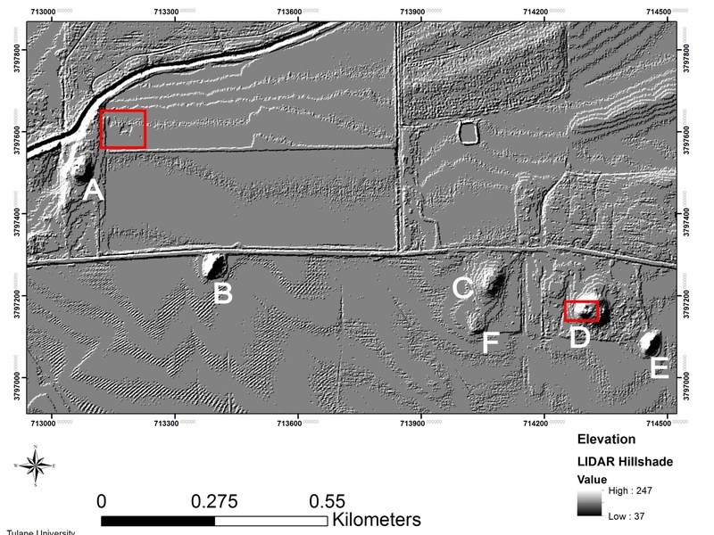
- Learning Lidar processing: how to obtain the digital data, how to process it and how to interpret the anomalies.
- Building the GIS project with the archaeological map and its attributes, adding the necessary information layers: hydrology, cadastre, historical satellite imagery and cartographic maps.
- Handling the data with the Claude AI tool.
- Writing the study diary and preparing the final report on the viability of each site and on which ones will be priorities in later phases of intervention, as survey or excavation, subject to the heritage regulations of the autonomous communities where the future research takes place.
Theory
- General introduction to the Spanish medieval Romanesque period, focused on the Pyrenees: history, site typology, building techniques, architecture, religion and funerary anthropology.
- Documentary sources for locating sites: official heritage inventories, historical cartography, online repositories and scientific publications.