


 060: Lidar, photogrammetry, GIS & Claude AI to discover archaeological sites in the Pyrenees, Spain

General Information
 The Sanisera Archaeology Institute for International Field Schools offers an annual international archaeology program. Since 1996 it has organized courses for students who come from all over the world to study abroad and who are interested in archaeology, anthropology, landscape archaeology or the digital techniques applied to the documentation of heritage.
This course is an academic training program in which students learn the most current techniques (GIS, Lidar, photogrammetry and Claude AI) applied to the medieval landscape of the Pyrenees, the area with the highest density of Romanesque sites of the 10th to 14th centuries in Spain. This rich heritage, recognised by UNESCO, is made up of villages, monasteries, convents, churches and hermitages, and the aim of the course is to explore, discover and document archaeological sites, whether unpublished or already known.
Islam controlled the territory of the Pyrenees, but from the year 1000 everything would change. A new stage of Christian conquest began, organized by the Church, which built defensive towers, castles, monasteries and temples following the new building canons of the Romanesque style, in a sense heirs of the old Roman Empire, in tune with the tradition of the Christian fervor of the 6th and 7th centuries.
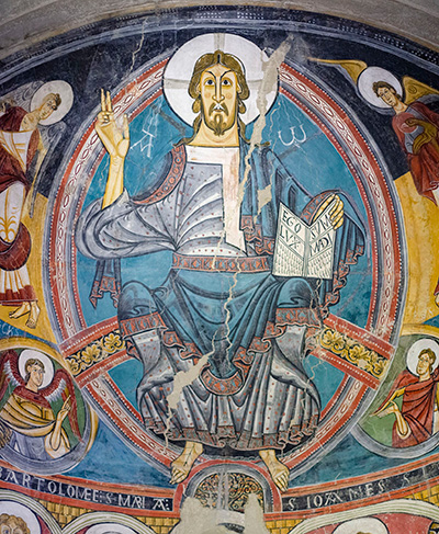
Romanesque is the first artistic style shared across Christian Europe, developed between the late 10th century and the 13th century. In the Catalan and Aragonese Pyrenees the so-called First Romanesque or Lombard Romanesque of the 11th century predominates, with apses decorated with blind arcades and lesenes, followed by the full Romanesque of the 12th century, with sculpted portals and fresco wall painting in the apses. Alongside this architecture came wall painting, altar frontals and baldachins painted on panel, wooden carvings of Christ in Majesty and the Virgin and Child, metalwork and illuminated manuscripts.
Its importance for the course is twofold. On the one hand, the churches, monasteries, castles and villages of this period are what structure the medieval settlement of the Pyrenees: around them are organized the parish cemeteries, the necropolises of anthropomorphic rock-cut and slab-lined tombs, the abandoned villages and the watchtowers that the course aims to locate and assess. On the other hand, the Pyrenean region preserves an exceptional density of buildings and works of art from this period, many of them still in situ and others gathered in museums.
Less than an hour from Malpàs (El Pont de Suert) are some of the best-known Romanesque ensembles in Spain. The group of Romanesque churches of the Vall de Boí was declared a World Heritage Site by UNESCO. In the Aragonese Ribagorza, the highlights are the 11th-century cathedral of San Vicente de Roda de Isábena, with its crypt and cloister; the monastery of Santa María de Obarra, in the Isábena gorge; and, next to El Pont de Suert, the ruins of the monastery of Sant Pere de Lavaix on the shores of the Escales reservoir. Much of the wall painting from these churches was moved to museums at the beginning of the 20th century. The Museu Nacional d'Art de Catalunya (MNAC), in Barcelona, holds the most important collection of Romanesque wall painting in the world, and a visit there is part of the course.
The course is run from a residential base in Malpàs, in the municipality of El Pont de Suert (Lleida), in the heart of the territory with the highest density of Romanesque churches, castles and abandoned villages in the Pyrenees: the Catalan Alta Ribagorça, the Aragonese Ribagorza with the valleys of the Noguera Ribagorzana and the Isábena, and the Ésera. Within 70 minutes of the base, 37 work sites have been inventoried, 17 of them selected as outstanding, and 20 abandoned villages, which are the object of the field plan of this program.
The aim of the course is to assess the territories containing the most interesting sites from an archaeological and bioarchaeological point of view, in order to develop survey and excavation projects in the coming years. Students carry out an analytical digital-processing project that supports the physical reconnaissance of each site, so that the information gathered in the field is processed in the laboratory.
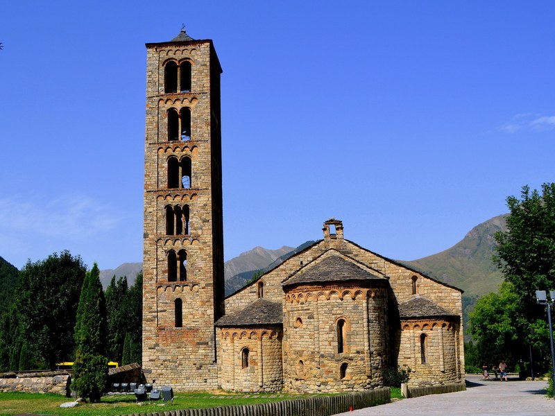
Iglesia romanica Sant Climent de Taüll.
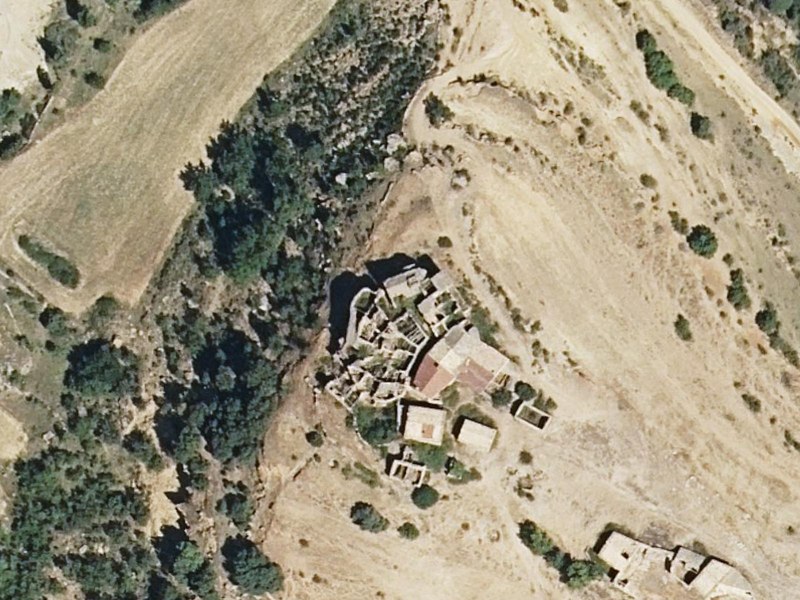
Pueblo de Claravalls ideal para la aplicación de métodos digitales de prospección.
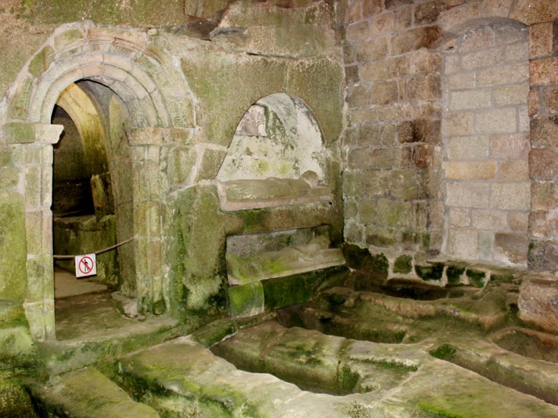
Iglesia medieval con tumbas en su interior.
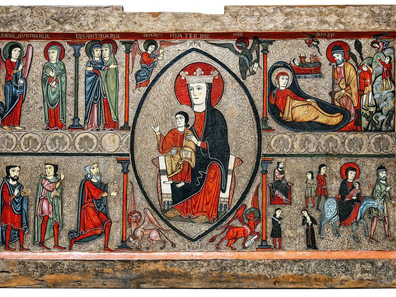
Pintura romanica exhibida en el Museo -MNAC- de Barcelona
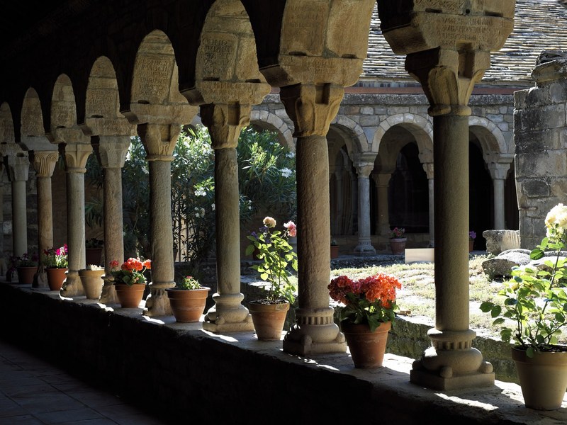
Espacio interior del monasterio medieval de Roda de Isabena (Pirineo)
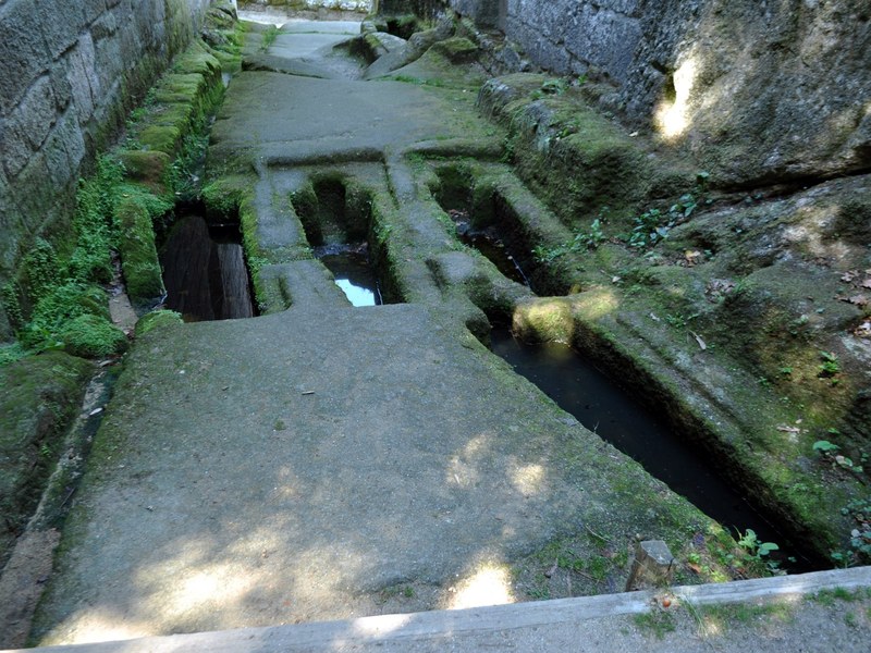
Tumbas antropomórficas medievales excavadas en la roca
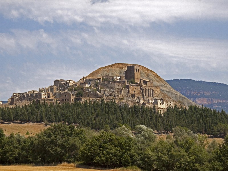
Territorio del poblado de Erill idea para prácticas de reconocmiento
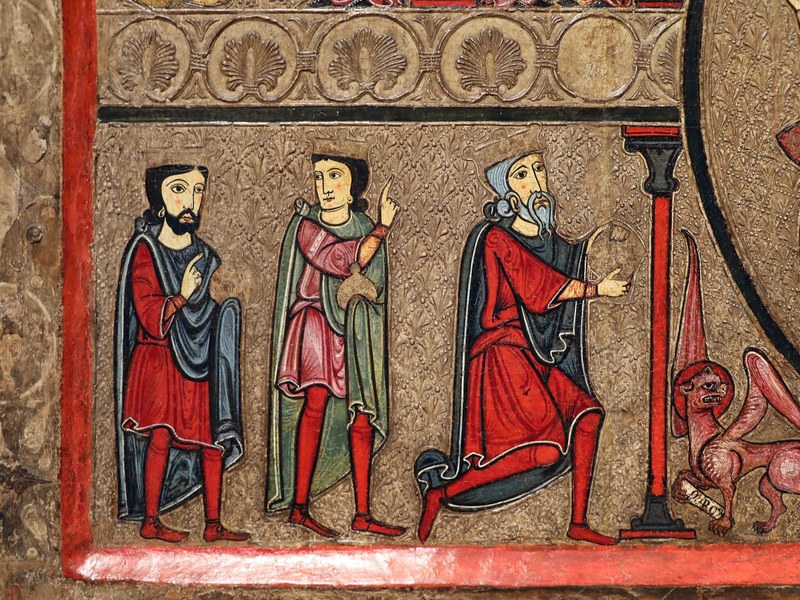
Arte románico de la iglesia de Santa Maria.
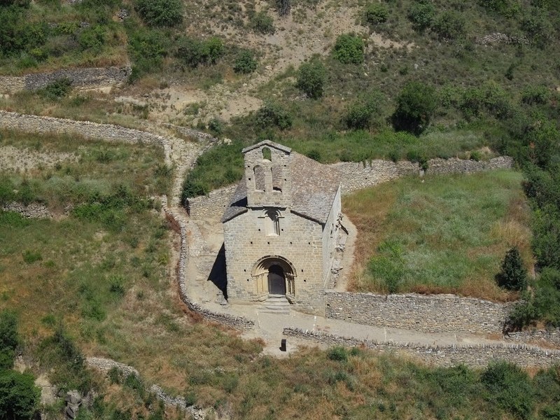
Iglesia medieval que refleja la típica arquitectura en el Pirineo en los siglos XI-XIII