

 063: Reconstruction of the ancient harbours of Menorca: GIS, LIDAR, bathymetry and underwater archaeology (Ciutadella, Menorca - Spain)

What you will learn ?
In the Laboratory
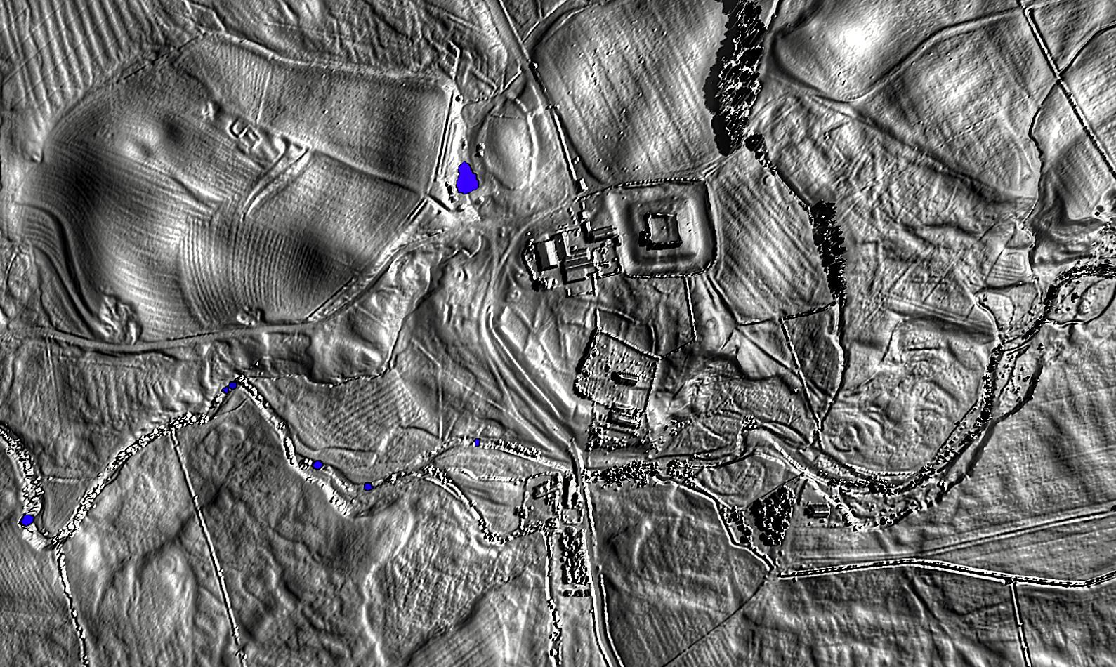
- Documenting anomalies with LIDAR, GIS, satellite imagery and drone photography in order to discover structures of harbour sites or sites located on the coast.
- Analysing the transformation of the coastline, with rises and falls in sea level and the effect of erosion, through calculations carried out in GIS.
- Building the GIS project for each of the four case studies, starting from the underwater Archaeological Chart of Menorca and adding the necessary layers: bathymetry, winds, waves, currents, historical cartography and orthophotos.
- Processing the soundings recorded at each of the four case-study sites (Sanitja, Pregonda, Tamarells and Ses Fontanelles): cleaning the data, correcting the tide and the sounder offset, and producing a digital model of the seabed with contours every 0.5 m, which is then joined to the LiDAR of the surrounding land to reconstruct the ancient coastline and published as a preliminary bathymetry figure.
- Producing orthophotos and 2D and 3D photogrammetric models of the harbours studied from the drone photographs.
- Handling the data with the Claude Al tool: organising the information of each case, cross-checking the detected anomalies against the existing documentation and assisting in the writing of the reports.
- Writing the study diary and the final report on the viability of each case, assessing whether the results of the published project have enough scope to plan future survey and excavation phases.
Theory
- Handling and fundamentals of Geographic Information Systems (QGIS or ArcGIS).
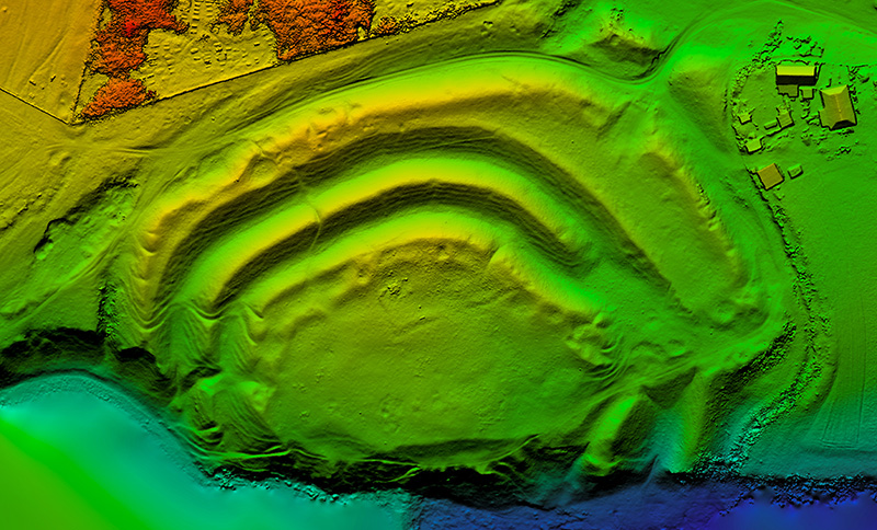
- Creation and processing of Digital Elevation Models (topography).
- Pre-processing of LiDAR (Light Detection and Ranging) imagery.
- Detection of archaeological anomalies with LiDAR data, thermal infrared remote sensing and artificial intelligence.
- Introduction to the use of Claude Al in archaeology: consulting bibliography and sources, support in the analysis of spatial data and preparation of documentation.
- Satellite surveying through remote sensing: thermal infrared, near infrared and integration of satellite imagery with Google Earth Engine and GIS.
- Reconstruction of the coastal palaeoenvironment around 1000 BC using LIDAR and Digital Elevation Models.
- Fundamentals of bathymetry with an echo-sounder and RTK: how an echo-sounder works, behaviour of the signal over sand, rock and Posidonia meadows, RTK positioning, planning of survey lines and the main sources of error.
- Introduction to seafaring and the ancient harbours of Menorca: anchorages, wrecks and anchoring conditions according to winds, waves and seabed.
- Sources for locating sites: official heritage inventories, historical cartography, online repositories and scientific publications.
In the Fieldwork
- Visual ground-truthing of the anomalies detected with the digital techniques, to confirm or rule out the presence of structures.
- Interpretation of the territory of each harbour or anchorage: relief, streams, sheltered points, access routes and possible associated settlements on land.
- Use of the drone to take aerial photographs and recording of coordinates with GNSS when necessary.
- Bathymetric survey from a kayak at each of the four case-study sites: the harbour of Sanitja, Cala Pregonda, Cala Tamarells and Ses Fontanelles, following planned survey lines with a fishing echo-sounder with built-in GPS and an RTK GNSS receiver, with the students taking turns at the paddle, the sounder and the shore control points.
- Preliminary assessment of the archaeological interest of each case with a view to planning survey projects followed by excavation.